GEO Heritage

Safety
Tips
GEO
Sites

Trails & More

Local
Food

Member-ship

Ward Falls
The hand of the Cobequid Fault in shaping the landscape of the cliffs and land is perhaps nowhere more evident than in waterfalls tumbling across its fault scarp, which forms the southern margin of the Cobequid highlands. Wards Falls is one such fall, carved through steep walls of granite. The trail has been maintained through the stewardship of Harrison & Sons lumber mill and community volunteers.
Geological Formation: Various
Age: Devono-Carboniferous (350-320 Million years)
GPS Coordinates: 45.44761, -64.41928
Directions: From Highway No. 2 at Crossroads, north of Parrsboro, travel west on Highway 209 for 7 km. The signed road to the trailhead is located approx. 100 m east of Diligent River, on the north side of the highway. Drive approx. 1 km to the parking area.

Other Popular GeoSites
-
![]()
Ward Falls
-
![]()
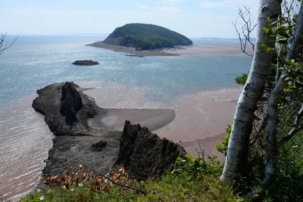
Five Islands
-
![]()
Three Sisters
-
![]()
Cape D'Or