

Ecology
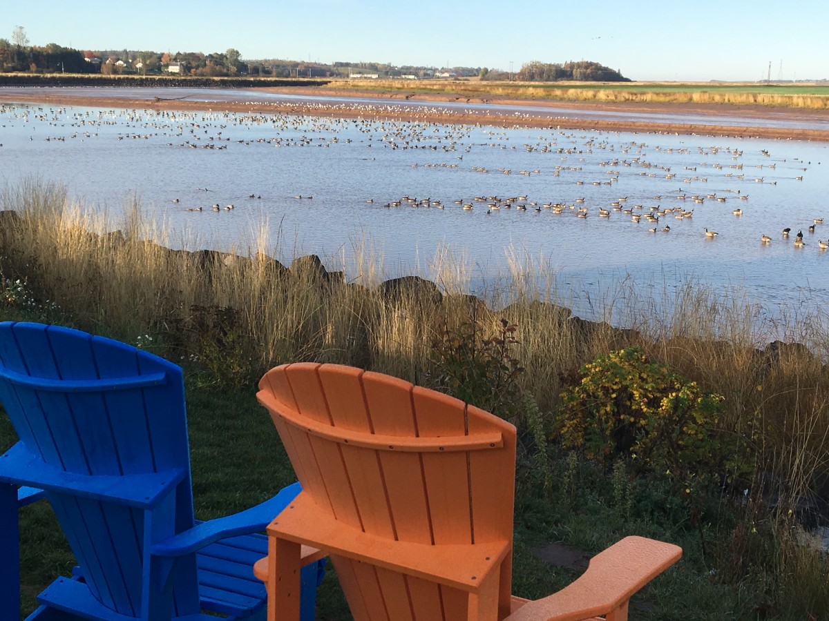
The Upper Bay including the Minas Basin and Cobequid Bay in the Bay of Fundy host one of the largest shorebird migrations in North America. Every year, in the late summer/early fall, thousands of birds flock to the mudflats of the Bay of Fundy. The record-high daily tides uncover an important food source for these birds on their way to South America. Shrimp and krill are uncovered as the Fundy tides go out, ensuring safe and plentiful feasting for these weary travellers. The estuaries and saltmarshes, along with other coastal wetlands of the upper bay provide safe and important roosting areas for the various species including semipalmated sandpipers and plovers. Some of the areas in the Cliffs of Fundy Geopark are: The Fundy Discovery site on Salmon River, Little Dyke, and Thomas Cove Coastal Reserve. Since the 1970s, when research into this phenomenon began, migratory bird populations have been reduced by half and are steadily declining. It is an event which is recognized by the Nature Conservancy of Canada, and education around the issue hopes to bring awareness to more sustainable human activities during these migratory times. The Western Hemisphere Shorebird Reserve Network has designated the Cobequid Bay as a Landscape of Hemispheric Importance.
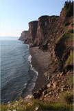
Mud Piddock are an endangered species, who’s fragile habitat is found among the red mudstone in the upper Bay of Fundy. These clams, also known as “Fallen Angel Wings” are a crucial part of the ecosystem, supporting shorebird populations and other coastal creatures. They live exclusively in the mudstone in the Economy, Five Islands and Burntcoat Head areas of the Cobequid Bay. Human activities have previously overlooked these habitats and efforts are being made to educate locals and visitors about safe practices in these areas.
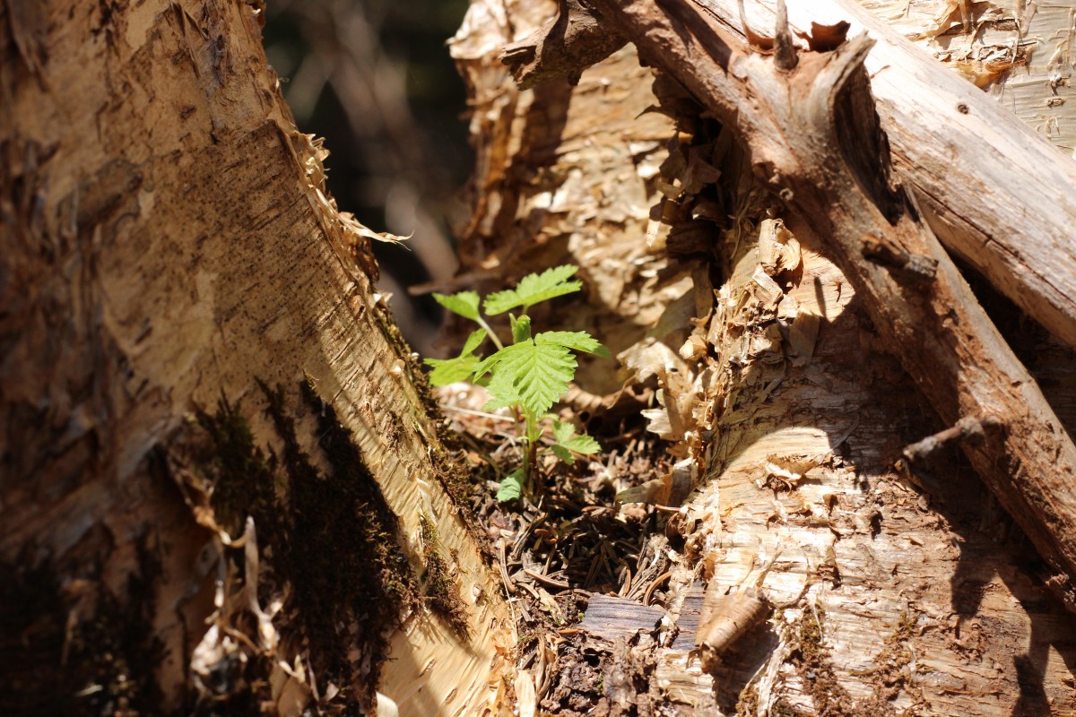
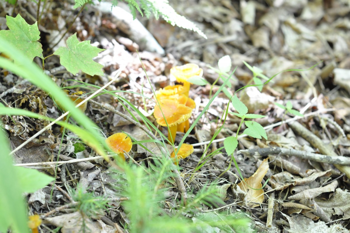
Various lichens, mushrooms, and wildflowers populate the Acadian forest system that makes up the Cliffs of Fundy Geopark. Important protected areas including Economy Wilderness Area and Portapique Wilderness Area help establish the northern boundary of the Geopark. MacElmon’s Pond is another Wildlife reserve which provides safe nesting for Bald Eagles and Hawks in the area.
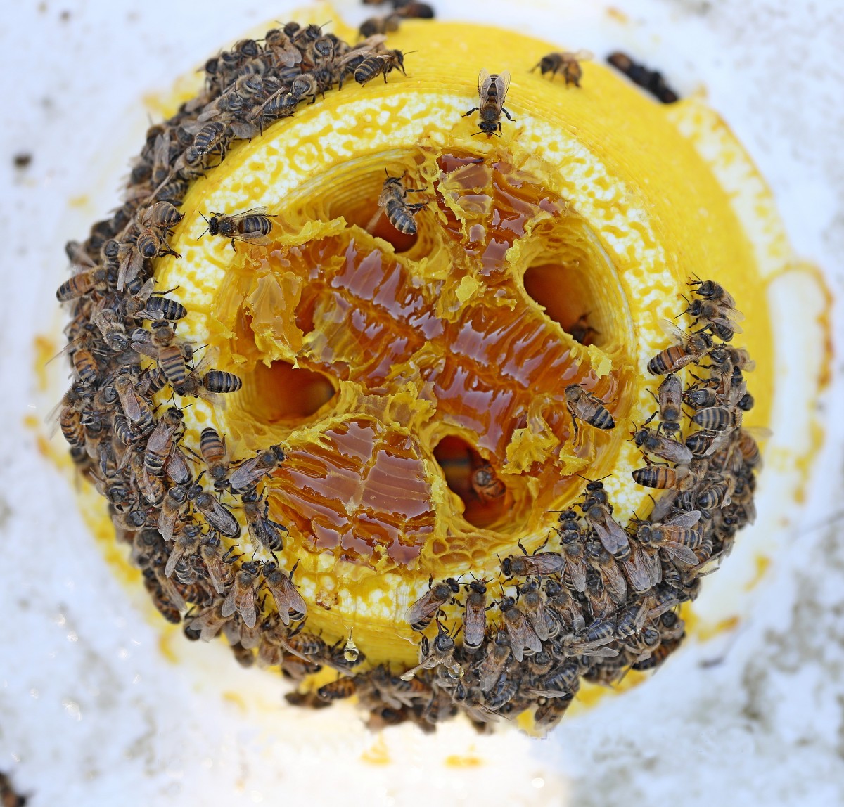
The Cliffs of Fundy Geopark ecology varies because the environments here include; coastal areas, estuaries, brackish (where salt water and fresh water meet, such as a river meeting the bay) waters, natural forests, lakes, and farmland. The area is well known for it’s blueberries, honey, and maple agriculture.

 A Geopark is a designation that attracts tourists wishing to explore the connections between geology, local communities, culture, and nature. Geoparks are designed to promote tourism and celebrate a region’s uniqueness, and do not prohibit any land use.