The Trails Around Us.
Cliffs of Fundy harbours many breath-taking trails. The trails around us go through many different landscapes and sceneries.
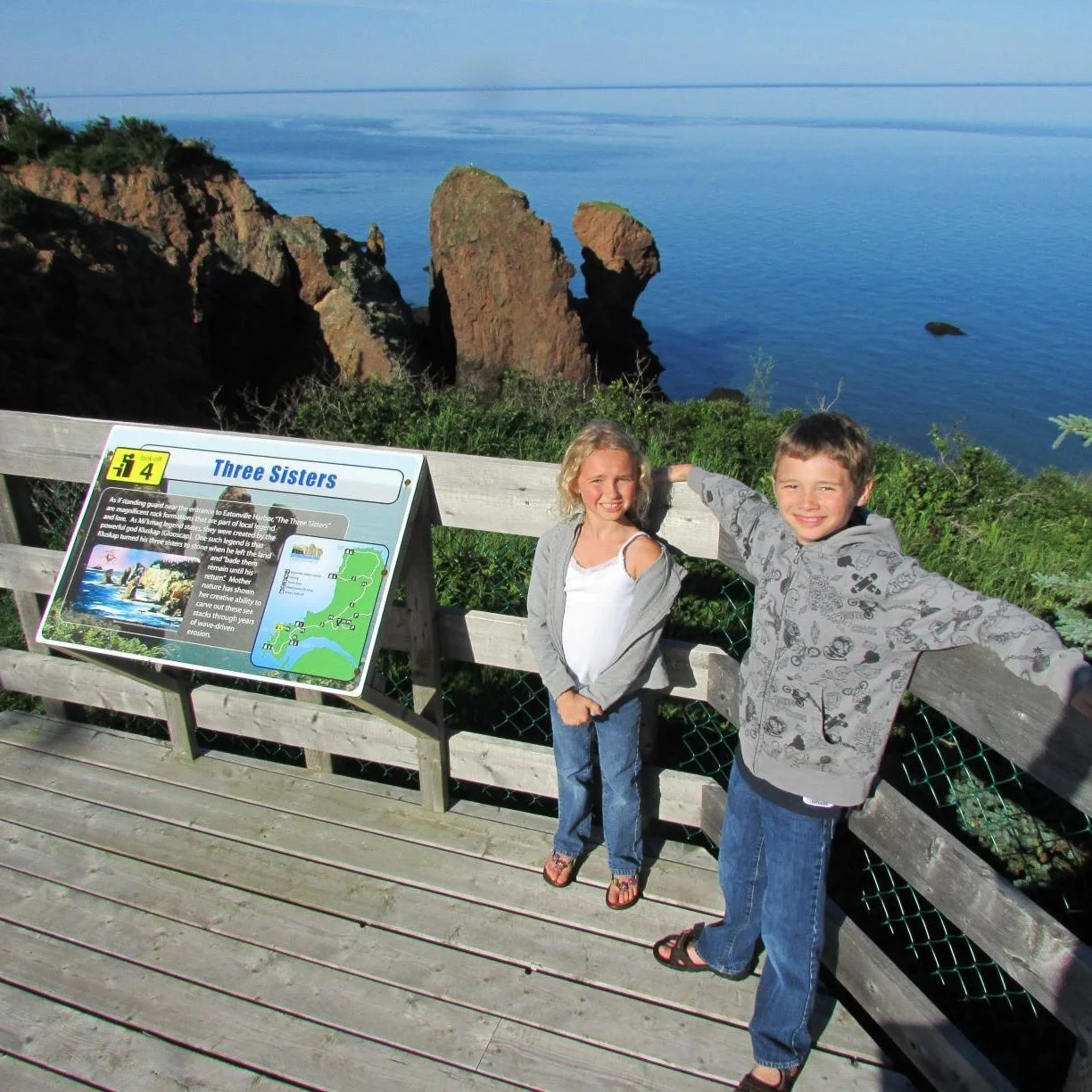
Eatonville Day-Use Park (part of Cape Chignecto)
A network of day trails with incredible vistas overlooking Eatonville Harbour, the Three Sisters, Anderson Cove and more. These trails are rated easy.
Trail Map: Cape Chignecto Park Trail Map
Five Islands Provincial Park Trails
There are a range of trails through the Provincial Park, from 2km - 10km, easy to moderate difficulty. Trails including Red Head Trail, Economy Mountain and Estuary Trail
Trail Map: Five Islands Park Trail Map
Economy Falls and Kenomee Canyon Trail System
Find an ancient waterfall and hike through a wilderness protected area in the Kenomee Canyon, with trips ranging from 2km-18km from moderate to challenging difficulty.
Trail Map: kenomee-map.jpg (1000×1581)
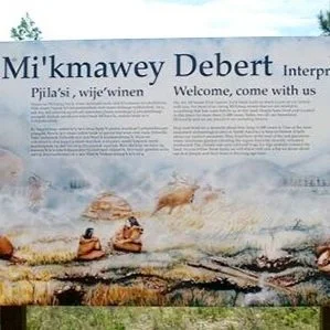
Mikmawey Debert Interpretive Trail
Picture an ice-age landscape with mastodons, caribou, and giant beavers wandering over the tundra that covered Mi’kma’ki more than 11,000 years ago. Imagine communities of people who lived at the base of the Cobequid Mountains for more than a thousand years. This is the story of the Mi’kmawey Debert Interpretive Trail.
6km moderate to challenging difficulty
More Info: Mi'Kmawey Debert Interpretive Trail
Thomas Cove Coastal Reserve Trails
Two 4km loops take you through tidal inlets and coastal vistas at Economy Point, a site of Hemispheric Importance for migrating shorebirds, and location of highest recorded tides. Easy to moderate difficulty.
More Info: Thomas Cove Coastal Reserve Trails
Partridge Island Lookoff Trail
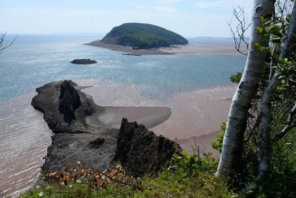
Climb the ancient Partridge Island and look of over the Minas Basin toward Cape Blomidon and Cape Split. This 1.4km there-and-back walk is rated moderate due to the initial incline.
Trail Map: Partridge Island Lookout - Nova Scotia, Canada | AllTrails
Cobequid Trail
Over 20km of Acadian dykeland, forest, and farmland has been coordinated by local landowners for public multi-use trail through Colchester County. It is rated easy, and offers beautiful views of the Bay of Fundy transforming into Salmon River.
Leake Lake Trail
A short distance behind the Sunshine Inn, in Lakelands north of Parrsboro, brings you to a kettle lake known as Leake Lake, named after Annie Leake Tuttle of Crossroads. This trail is rated easy, and provides a sitting area for contemplation.
Trail Map: Leake Lake Trail Map

Other Popular GeoSites


