
GEO Heritage

Safety
Tips
GEO
Sites

Trails & More

Local
Food

Member-ship

Londonderry Iron Mines
From 1849 to 1908, iron deposits along the Cobequid Fault fed the brick kilns of Londonderry. Fully two million tons of iron ore were mined during the heyday of Londonderry when the town was a bustling centre of mining and steel making. Londonderry Provincial Park has mining artifacts, while historic slag heaps and ‘beehive’ coke ovens occur just north of the park.
Geological Formation: Londonderry Formation
Age: Carboniferous (350-320 Million years)
GPS Coordinates: 45.471814, -63.596443
Directions: On Highway 2 in Great Village at the WWII Cenotaph, turn north onto Station Road for 10 km, passing by Londonderry Provincial Park with cenotaph and mining artifacts to the ‘beehive’ coke ovens. Local folk are Era happy to assist.

Other Popular GeoSites
-
![]()
Ward Falls
-
![]()
Five Islands
-
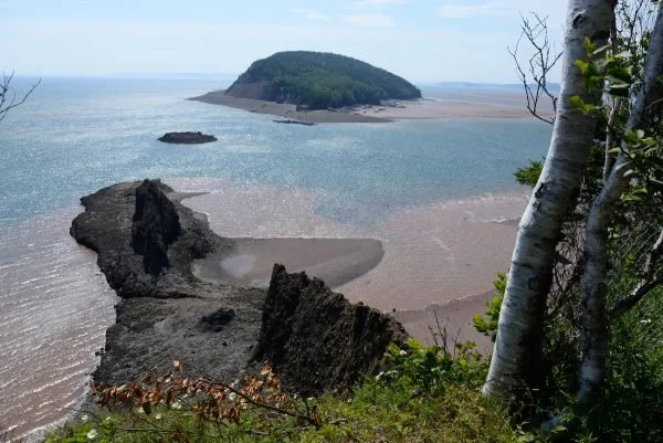
![]()
Three Sisters
-
![]()
Cape D'Or